
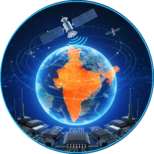
Driving Innovation in Location Intelligence with NavIC.
We design high-precision navigation and timing solutions powered by India’s NavIC satellite system. Delivering accuracy, reliability, and performance for the connected world.

High-Precision
Achieve centimeter-level accuracy powered by NavIC’s

Reliable
Experience uninterrupted navigation and timing

Custom GNSS
Develop tailored positioning systems that leverage NavIC’s


Why Choose Us
Your Trusted Partner in NavIC Solutions
From design to deployment, our NavIC-enabled systems ensure unmatched accuracy, robust performance, and full compliance with India’s indigenous navigation standards.

Handheld Navigator
The Navic handheld navigator is a compact, India-designed GPS device offering reliable, high-accuracy navigation for outdoor, defense, and field operations using the NavIC satellite system.
more...
Grid Converter
The grid converter transforms coordinates between ESM, DSM, and Geodetic systems to ensure precise spatial data alignment and mapping accuracy.
more...
Timing Server
The NavIC Timing Server provides precise time synchronization using signals from the NavIC satellite constellation, supporting applications in telecom, power grids, and financial networks.
more...
Buoy Monitoring System
The NavIC-based buoy monitoring system uses satellite navigation to track and transmit real-time ocean and weather data for maritime safety, fisheries, and environmental monitoring.

Drone Navigation Unit
The NavIC-based drone navigation unit provides accurate and reliable positioning for unmanned aerial vehicles, enabling precise flight control, mapping, and surveillance operations in Indian airspace.
more...
Marine Receiver
The NavIC-based marine receiver delivers precise positioning and timing for maritime navigation, supporting vessel tracking, route planning, and safety operations in Indian waters.
more...Email Address
Office Location
Ganganagar, Bangalore